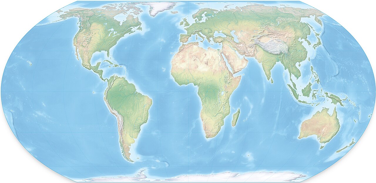
The United Nations has voted to adopt a new world map that reflects countries’ true relative sizes following African nations urging the UN to right a centuries-old wrong.
Voting on September 4, they stated the “Correct the Map” proposal put forward by African Union member states, as well as the Bahamas, with 164 member states voting, 6 abstaining and the United States voting against.
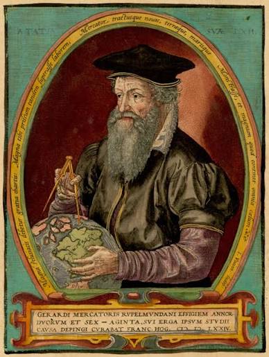
The Mercator map projection, which has dominated in classroom atlases and digital platforms, since the 16th century, was designed in 1569 by Flemish cartographer Gerardus Mercator to help European explorers navigate across the world.
Greenland appears equal to Africa, with Africa being fourteen times larger. Europe and North America are exaggerated, while Africa, South Asia and Latin America are diminished; a distortion that argues colonial hierarchies and perceptions of global importance.
A team of cartographers in 2018 developed an equal area map calling it the Equal Earth projection.
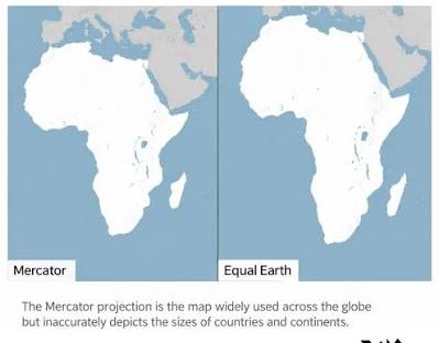
The AU’s 54 member states adopted it and said it “more accurately represented the sizes of all continents, particularly Africa.” They stated it could fit the United States, China, India, Japan, Mexico and much of Europe into Africa.
The resolution was spearheaded by Togo’s Foreign Minister Robert Dussey declaring, “A fair world begins with a fair map.” He had a back up of the French Foreign Minister Jean-Noel Barrot, who stated his ministry was going to stop using the Mercator map.
“Changing the map obviously doesn’t change the world. But correcting a representation that distorts it is already an act of truth, Barrot said.
For Africa, the change will portray a smaller, marginalized and peripheral continent, taking its rightful place at the center of the globe.