Kenya and other African countries could soon be represented more accurately on world maps after the United Nations General Assembly backed an African-led proposal to address long-standing distortions in the way countries are shown.
The UN General Assembly on Friday, September 4, adopted the “Correct the Map” resolution, with 164 countries voting in favour. One country voted against the proposal while six abstained.
Kenya was among the African countries that supported the resolution, which was introduced by Togo on behalf of the African Group and backed by the African Union.
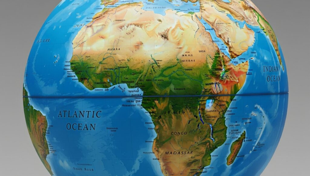
The proposal calls for greater use of maps that give a more accurate picture of the actual size of continents and countries. This is meant to address distortions created by some of the commonly used world map projections.
One of the maps often used globally is the Mercator projection, which makes areas closer to the poles appear much larger than they are. Countries around the Equator, including Kenya, and much of Africa can therefore look smaller than their actual size.
The difference is especially noticeable when Africa is compared with Greenland. On some commonly used maps, the two can appear close in size, yet Africa is about 14 times larger than Greenland.
The resolution does not seek any change to the boundaries, size or geographical composition of Kenya. It tries to encourage map projection that shows the correct size of the country when compared with other parts of the globe.
The African countries that backed the move include South Africa, Nigeria, Ghana, Egypt, Ethiopia, Tanzania, Uganda, Rwanda, Botswana, Zambia, Zimbabwe, Morocco, Algeria, Senegal and Côte d’Ivoire.
Only the US voted against the resolution with Estonia, Georgia, Lithuania, Moldova, Serbia and Ukraine abstaining.
The African Union praised the move and thanked the countries of Togo and the African Group for championing the move that the AU Assembly had supported in February.
AU praised the decision since it will encourage accurate maps usage in educational institutions, media outlets and international bodies thereby giving an accurate image of the size of Africa geographically.